
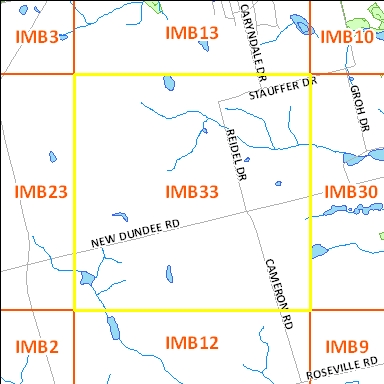
Click on an adjacent tile to open corresponding page

| File Name | File Size | File Description |
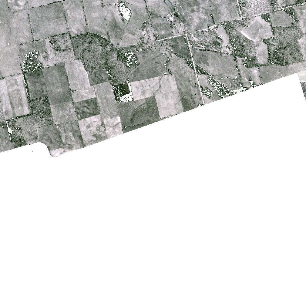
| 1945_IMB33_TIF | 7.8 M | TIF image format |
|
|
1 KB | Transformation text file used by GIS software to place the aerial TIF (tfw) photograph in a true map coordinate location. |
| 1945_IMB33_JPG | 168 KB | JPG image format - converted from TIF image |
| 2 M | PDF image format - converted from TIF image | |
| 1945_IMB33_KMZ | 1.8 M | KMZ image format - view in Google Earth - converted from TIF Image
|
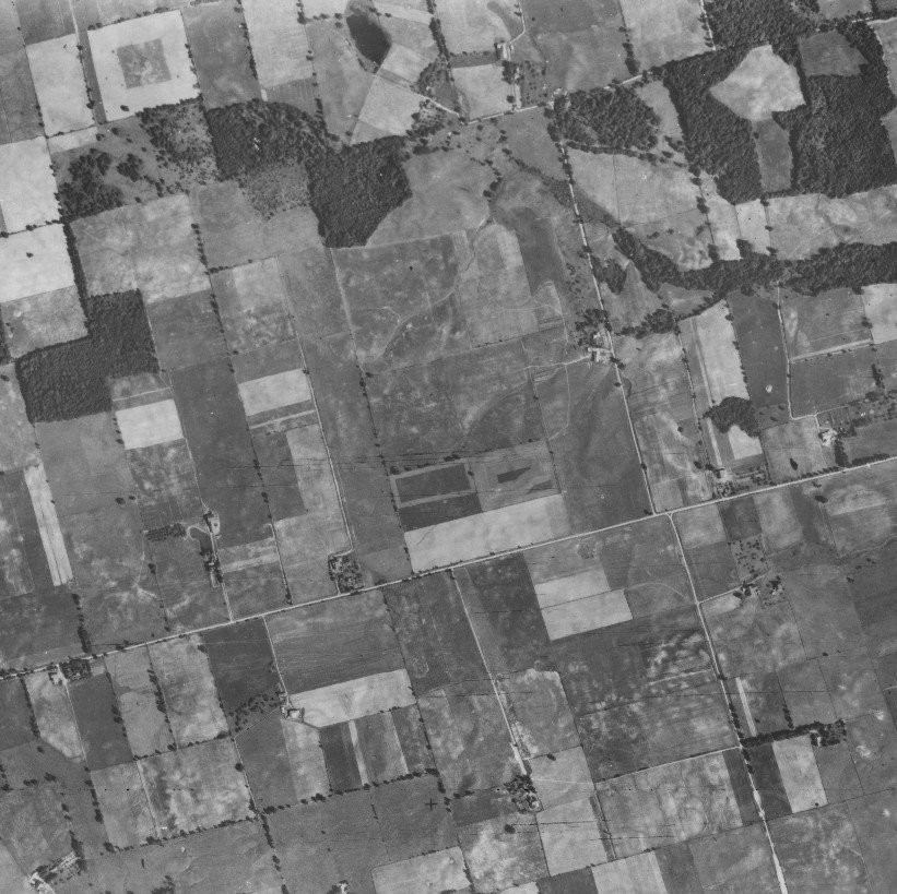
Original images used to create this image tile : 1945 : A9196_74 |
||
| File Name | File Size | File Description |
| 1955_IMB33_TIF | 7.8 M | TIF image format |
|
|
1 KB | Transformation text file used by GIS software to place the aerial TIF (tfw) photograph in a true map coordinate location. |
| 1955_IMB33_JPG | 168 KB | JPG image format - converted from TIF image |
| 2 M | PDF image format - converted from TIF image | |
| 1955_IMB33_KMZ | 1.8 M | KMZ image format - view in Google Earth - converted from TIF Image
|
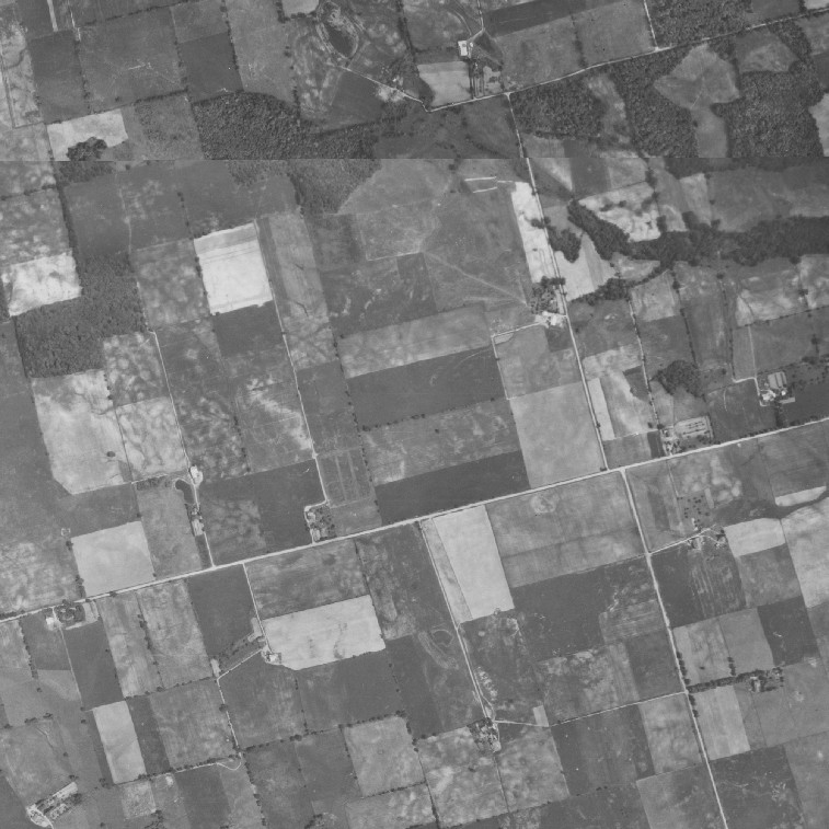
Original images used to create this image tile : 4317_54, 4316_165
|
||
| File Name | File Size | File Description |
| 1963_IMB33_TIF | 3.8 M | zipped GeoTIFF image format |
| 1963_IMB33_JPG | 212 KB | JPG image format - converted from TIF image |
| 1963_IMB33_KMZ | 3.1 M | KMZ image format - view in Google Earth - converted from TIF Image
|
Original images used to create this image tile :
|
||
Right click file name and 'Save Target As'
| File Name | File Size | File Description |
| 1966_IMB33_TIF | 1.1 M | TIF image format |
| 1 KB | Transformation text file used by GIS software to place the aerial TIF (tfw) photograph in a true map coordinate location. |
|
| 920 KB | PDF image format - converted from TIF image | |
| 1966_IMB33_KMZ | 327 KB | KMZ image format - view in Google Earth - converted from TIF Image
|
Original images used to create this image tile : A19411_84
|
||
The aerial photographs are projected to the UTM coordinate system, zone 17, based on the North American Datum of 1983.
Please email any questions, comments or suggestions to :
Eva Dodsworth, Geospatial Data Services Librarian
University Map Library, 2008