
![]()
![]()
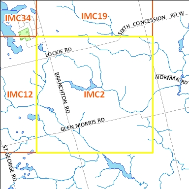
Click on an adjacent tile to open corresponding page
Right click file name and 'Save Target As'
| File Name | File Size | File Description |
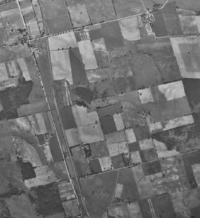
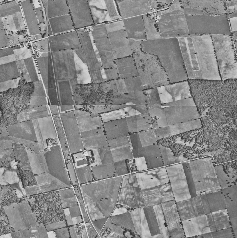
| 1945_IMC2.tif | 5.0 M | TIF image format |
| 1 KB | Transformation text file used by GIS software to place the aerial TIF (tfw) photograph in a true map coordinate location. |
|
| 1945_IMC2.jpg | 106 KB | JPG image format - converted from TIF image |
| 1.3 M | PDF image format - converted from TIF image | |
| 1945_IMC2.kmz | 1.4 M | KMZ image format - view in Google Earth - converted from TIF Image *This file will save as a .zip. Please rename to .KMZ. |
Original images used to create this image tile : 1945 : A9240_19 |
||
Right click file name and 'Save Target As'
| File Name | File Size | File Description |
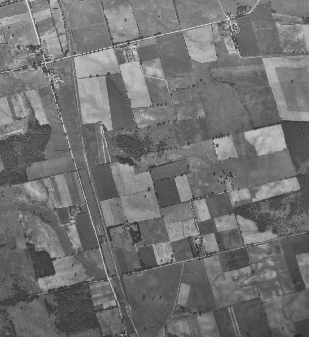
| 1955_IMC2.tif | 5.0 M | TIF image format |
| 1 KB | Transformation text file used by GIS software to place the aerial TIF (tfw) photograph in a true map coordinate location. |
|
| 1955_IMC2.jpg | 106 KB | JPG image format - converted from TIF image |
| 1.3 M | PDF image format - converted from TIF image | |
| 1955_IMC2.kmz | 1.4 M | KMZ image format - view in Google Earth - converted from TIF Image *This file will save as a .zip. Please rename to .KMZ. |
Original images used to create this image tile : 4314_216, 4314_217, 4313_98, 4313_99
|
||
Right click file name and 'Save Target As'
| File Name | File Size | File Description |
| 1966_IMC2.tif | 1.6 M | TIF image format |
| 1 KB | Transformation text file used by GIS software to place the aerial TIF (tfw) photograph in a true map coordinate location. |
|
| 1.6 M | PDF image format - converted from TIF image | |
| 1966_IMC2.kmz | 490 KB | KMZ image format - view in Google Earth - converted from TIF Image
|
Original images used to create this image tile : A19410_65
|
||
The aerial photographs are projected to the UTM coordinate system, zone 17, based on the North American Datum of 1983.
Please email any questions, comments or suggestions to :
Eva Dodsworth, Geospatial Data Services Librarian
University Map Library, 2008